The Tellus South West project

What is Tellus South West?
The Tellus South West project is a collaborative, environmental survey and research project funded by the Natural Environment Research Council (NERC) and carried out by a partnership of the British Geological Survey (BGS), the Centre for Ecology and Hydrology (CEH), the British Antarctic Survey (BAS) and the University of Exeter Camborne School of Mines.
Tellus South West provides scientific data to benefit the economy, businesses and the environment in south west England. The data and follow up scientific research provides new knowledge of geology, landscape and ecosystems, helps us manage risks from natural hazards, and provides a census of the current state of the environment for measuring impacts of future change. The project will identify new opportunities for sustainable use of natural resources, and assist with improving the quality of water and soil. This knowledge will help us make the right decisions about our environment for the benefit of future generations.
What data did Tellus South West collect?
The Tellus South West survey was completed in 2013 and data was released in 2014. The survey had five main components:
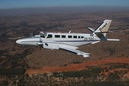
- a high resolution airborne geophysical survey (carried out by BGS)
- an airborne LiDAR survey (carried out by BAS)
- geochemical sampling of soils and stream sediments (carried out by the BGS G-BASE project for South West England)
- a soil and habitat survey (carried out by CEH)
- a stakeholder liaison programme to connect with local government, businesses and research centres (carried out by the University of Exeter Camborne School of Mines)
The maps and data produced show the soils, rocks, landscape and ecology of Devon and Cornwall at unprecedented depth and detail, and augment existing data to provide the two counties with among the best and most comprehensive environmental datasets anywhere in the world.
The data have many diverse applications for users in the commercial, academic, government and public sectors, including farming, local government, minerals and mining, water supply, geothermal energy, environmental regulation and health, natural and built heritage, and ground engineering, and to researchers in the environmental, health, minerals and agricultural sciences.